
Tararua country views from a e-bike.
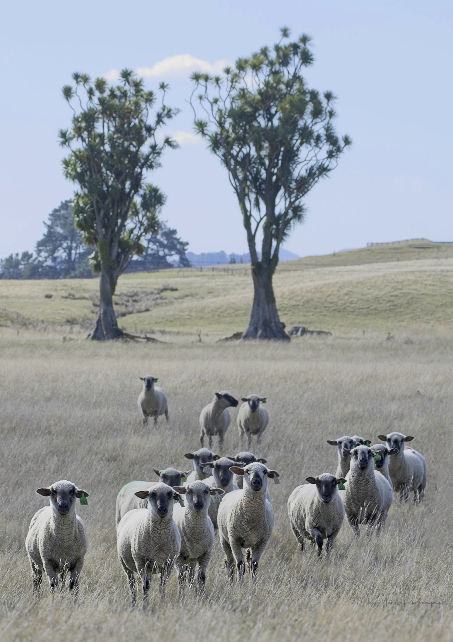
Curious sheep wondering what this hooman was doing pointing a big Canon at them from the road-side.

A visual diary of a log truck drivers day…
A typical image from the forestry … small pine trees recently planted next to a load of export logs as the culmination of the process of growing a exotic forest.
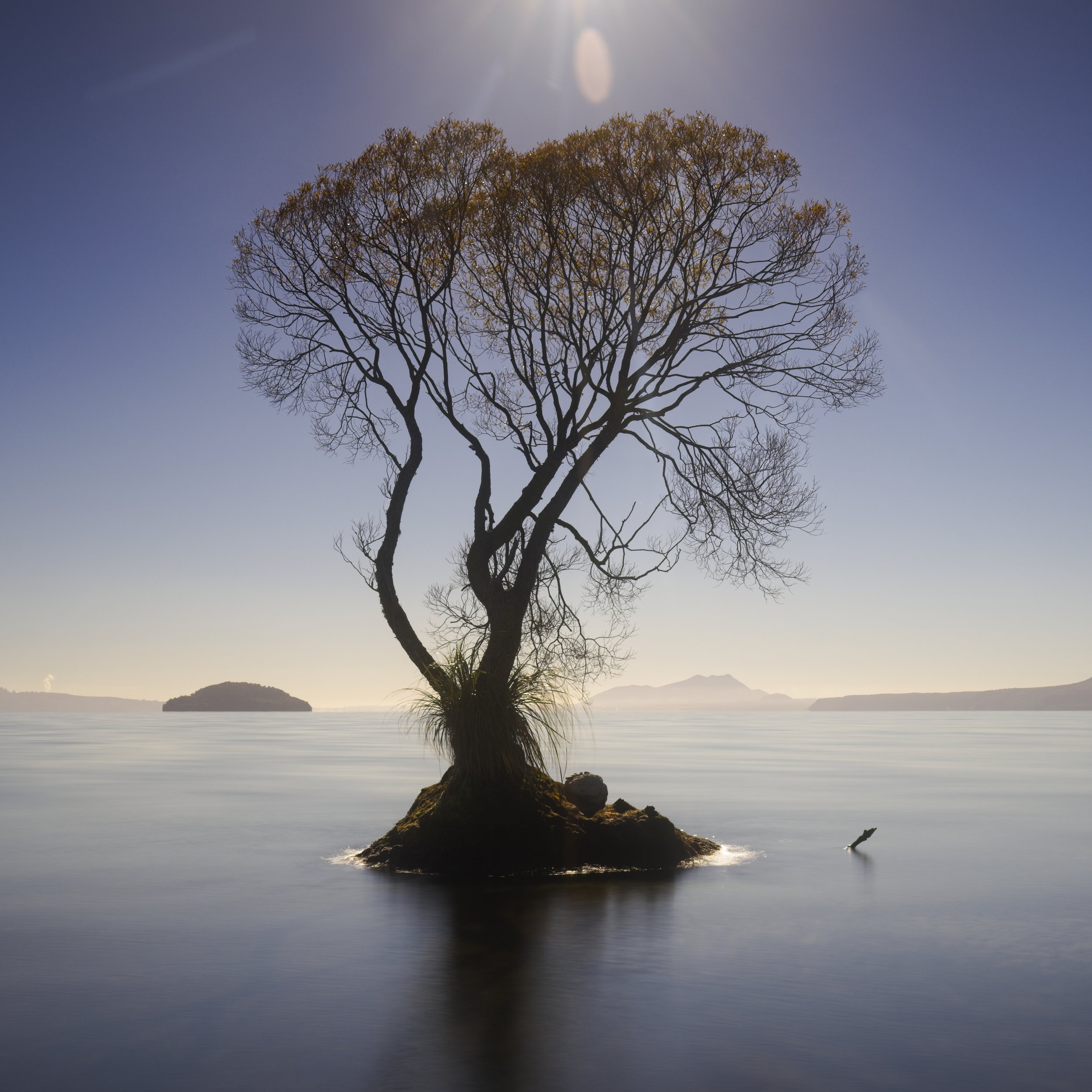
The Taupo tree in the lake…
A collection of imagery of that tree in Lake Taupo and also it’s poor cousin next door.

The Tongaporutu Round boulders.
The elusive round boulders of Tongaporutu north of New Plymouth. Hard to find and mostly covered by shifting sands.